
Henry Boegheim laminated his first marine chart in 1990 in the garage of his suburban home in Brisbane which he and his wife Margaret would soon take to market at scale. Little did Henry and Margaret (HE - MA) know at that point the impact that the Hema business was about to have on regional Australia.
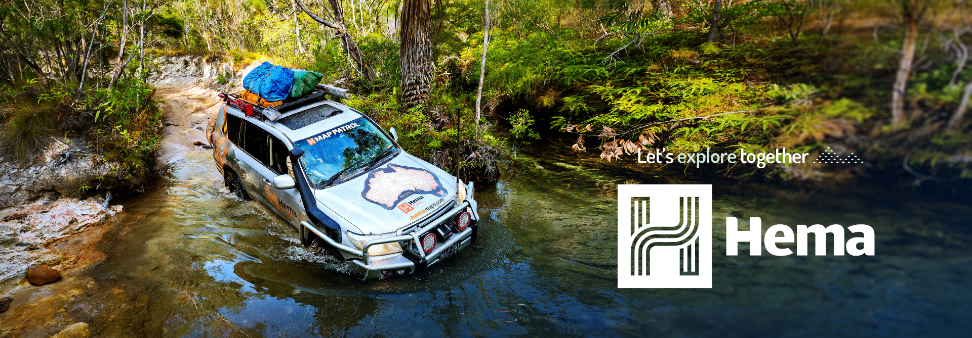
When Rob Boeghiem first crossed the Simpson Dessert in a Nissan Patrol in 1990, the Map Patrol was born. The first mapping vehicle expanded the horizons for the traditional publisher to start collecting its own rich data and IP to incorporate within the Hema mapping products.
Over the journey, Hema has mapped over 250,000kms of tracks in Australia, sourced over 50,000 points of interest and delivered unique and inspiring content to consumers to help navigate regional and remote Australia.
Hema has published over 100 books and 1000 maps in its 30 years and mapped hundreds of thousands of kilometers through that time.
Hema’s position as the most respected map for regional Australia for remote roads and off-road tracks identified a genuine need in the market for the best maps on any device. With the advent of in-car navigation devices and more recently the mobile phone mapping services, Hema was able to release market leading products on all platforms to service the remote and off-road tourers.
Since merging with Adventures Group to form Emprise, the core data within the Hema business has been unlocked. The team have focused on broadening the range of content directly tied to the remote areas and introduced new systems to improve data collection and useability of our maps for our products and those of our customers.
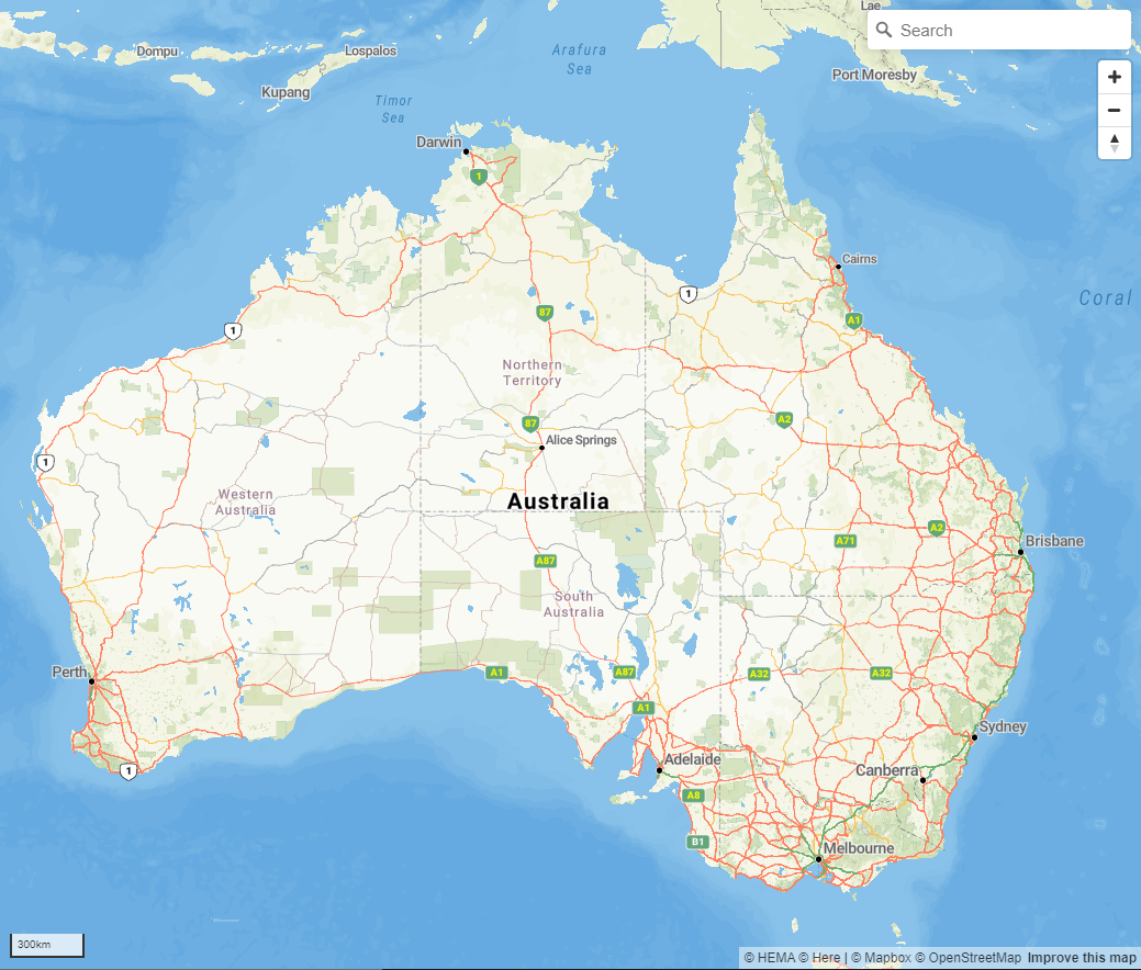
Check out our latest Hema Explorer Map here.